
Landmark
VCIA Control Tower
Landmark
Seen once and it looks right, but we are waiting to see it again
No words on this one yet.
What is here
- servicesairport
- activitiesnone recorded
The real place it was modelled on
FAA Miami ATCT (MIA)
FAA Miami ATCT (MIA), 6400 NW 22nd St, Miami, FL 33122, USA
25.79347, -80.29943
The match is gtadb.org's, not ours, and they photographed both sides of it. See the two photos side by side. Their landmark data is CC BY 4.0.
Related locations
Nearby
- Allied Air Hangar, Vice City International Airport330 m north east
- Runway, Vice City International Airport, x -2852 y -1041550 m south west
- Parking Lot, Vice City International Airport600 m east
- Gator's Piano Bar, Vice City640 m north east
- Judith's, Vice City650 m north east
- Autograph Flight Support Building, Vice City International Airport660 m north
Elsewhere in the same county
- Vice City Sign, Vice City International AirportVice City International Airport
- Autograph, Vice City International AirportVice City International Airport
- Autograph Hangar 1, Vice City International AirportVice City International Airport
- Autograph Hangar 2, Vice City International AirportVice City International Airport
- Electric Substation, Vice City International Airport, x -1884 y -1524Vice City International Airport
- Electric Substation, Vice City International Airport, x -1952 y -197Vice City International Airport
Other transport on the map
Tools
Sources and confidence
We have seen this once and it looks right. We are waiting to see it again. Last checked 2026-11-19.
On the map



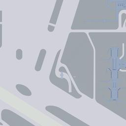
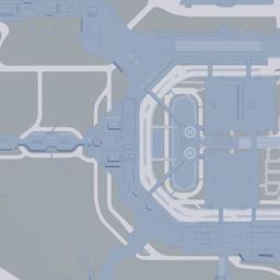




Open the full map at VCIA Control Tower
Landmark, game coordinates x -2373.01, y -774.32
Seen something we have not? Send us a correction. Every change we make lands in the changelog with the date on it.